-40%
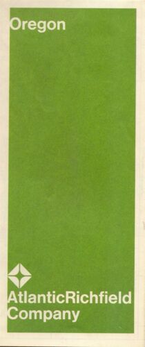
1969 ATLANTIC RICHFIELD Road Map OREGON Portland Salem Eugene Crater Lake Nat Pk
$ 3.69
- Description
- Size Guide
Description
1969 ATLANTIC RICHFIELD Road Map OREGON Portland Salem Eugene Crater Lake Nat PkHandsome Atlantic Richfield fold-out road map of Oregon, printed more than 44 years ago
This map opens to 18" x 30-1/2" and has great detail on old highway alignments, with cartography by the Diversified Map Corporation of St. Louis. On the reverse side there are inset plans of Portland, Salem, Eugene, Crater Lake National Park, and the Mount Hood area.
The map was published by the Atlantic Richfield Company in 1969 and is dated in the legend. The code number in the lower margin is 4119. Little symbols locate Richfield service stations along interstate highways.
Condition:
This map is in very good, lightly used condition, bright and clean, with a small ink mark near Grants Pass and
no
rips or tears. We are pleased to offer it with
our unconditional, money-back guarantee.
Powered by SixBit's eCommerce Solution
