-40%
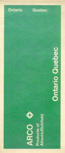
1971 ARCO Atlantic Richfield Road Map ONTARIO QUEBEC Canada Windsor Senneterre
$ 4.21
- Description
- Size Guide
Description
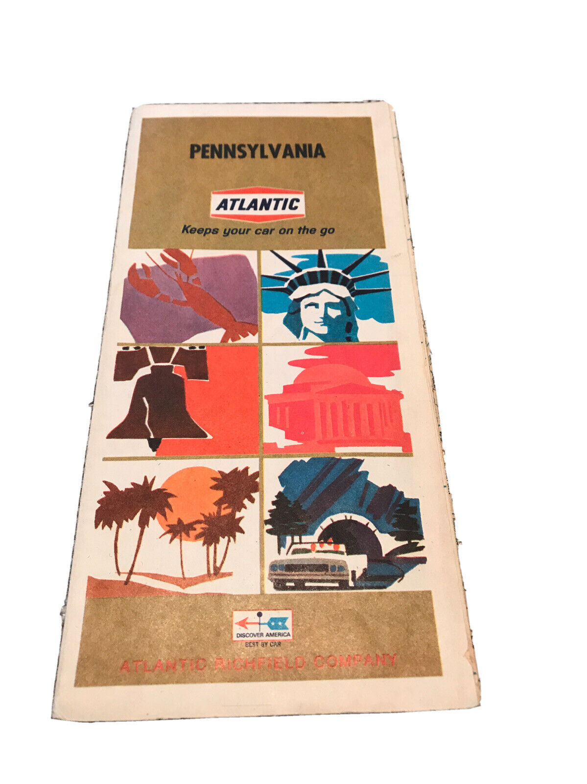
1971 ARCO Atlantic Richfield Road Map ONTARIO QUEBEC Canada Windsor SenneterreHandsome Arco fold-out road map of Ontario and Quebec, printed more than 42 years ago.
The map opens to 18" x 30-1/2" and has great detail on old highway alignments, with cartography by Rand McNally. Southern Ontario is on one side, with inset plans of Windsor, London, and the Niagara Frontier.
The map of Quebec is on the reverse side, with an inset showing the route from Senneterre to Saint-Félicien.
The map was distributed by the Atlantic Richfield Company to promote its Arco brand. It is copyrighted
© Rolph Clark Stone Ltd. 1971
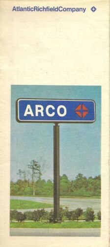
in the lower margin. The back cover has a photograph of an Arco service station sign.
Condition:
This map is in very good condition, bright and clean, with
no
marks, rips, or tears. We are pleased to offer it with
our unconditional, money-back guarantee.
Powered by SixBit's eCommerce Solution
